Welcome to the webpage of the Department of the Physical Geography and Geoinformatics!
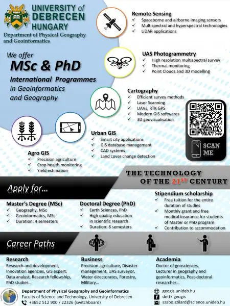
The Department of Physical Geography and Geoinformatics of the University of Debrecen is responsible for the training of geographers in the fields of geoinformatics and geomorphology. Our brand new course, the MSc in Geoinformatics, started in 2022. The Department is involved in the BSc, MSc and PhD level courses within the Institute of Earth Sciences, as well as in the courses of the Institute of Biology and Ecology and the Faculty of Agriculture, Food Science and Environmental Management.
The annual National Conference and Exhibition on Geoinformatics was initiated by our Department and has been organized and run since 2010. The conference has become international in the last years, and due to the increasing number of foreign guests, we are providing several English language sessions for the participants.
The majority of our research is carried out within the framework of the PhD programme "Natural and Anthropogenic Processes of the Lithosphere and Hydrosphere", which is defined by two main directions, physical geography and geoinformatics, in accordance with the name of the Department.
- Physical geography research dates back to the time of famous Hungarian geographers, László Kádár and later Zoltán Borsy, and is still an important element of our studies. The Department includes the Complex Environmental Laboratory and an internationally unique wind tunnel and flume.
- Research on geoinformatics fits well with the existing knowledge and its methodology provides quantifiable results. Several high-precision GPS, total stations and drones are available, as well as two terrestrial laser scanners and a spectrometer.
Our main research activities are:
- investigating the rules of deposition of floodplain sediments;
- the sensitivity of soils to wind erosion;
- the study of surface evolution in the Hungarian Great Plain;
- study of river bed changes in the lowland rivers;
- comparative analysis of digital elevation models;
- methodological studies in the production of drone-based orthophotos and digital elevation models;
- identification of roofing materials using remotely sensed data;
- extraction of objects (buildings, roof planes, sinkholes, floodplain morphology) from aerial laser scanned files;
- exploring the quantitative potential of landscape analysis;
- the application of machine learning and deep learning in processing.
Our department's activities in both education and research are guided by the need to meet the latest challenges in terms of quality. We develop new methods and technologies and seek the newest knowledge to improve our work.
Dr. Szilárd Szabó, head of department